The arrival of spring means allergy season is here. This map can help you survive
 Buenos Aires HeraldUpdated 2 hours Ago3 Mins read

“There is some toxic crap falling from the sky that hits you and kills you.”
No, it’s not the deadly snow that wipes out most of Buenos Aires’ population in Netflix’s hit Argentine show “The Eternaut” — but it’s pretty close.
The streaming platform’s own billboard outside the city’s Ecoparque quoted the show as a way to relate to porteños’ endlessly regular springtime suffering: allergies from the ubiquitous London plane tree pollen.
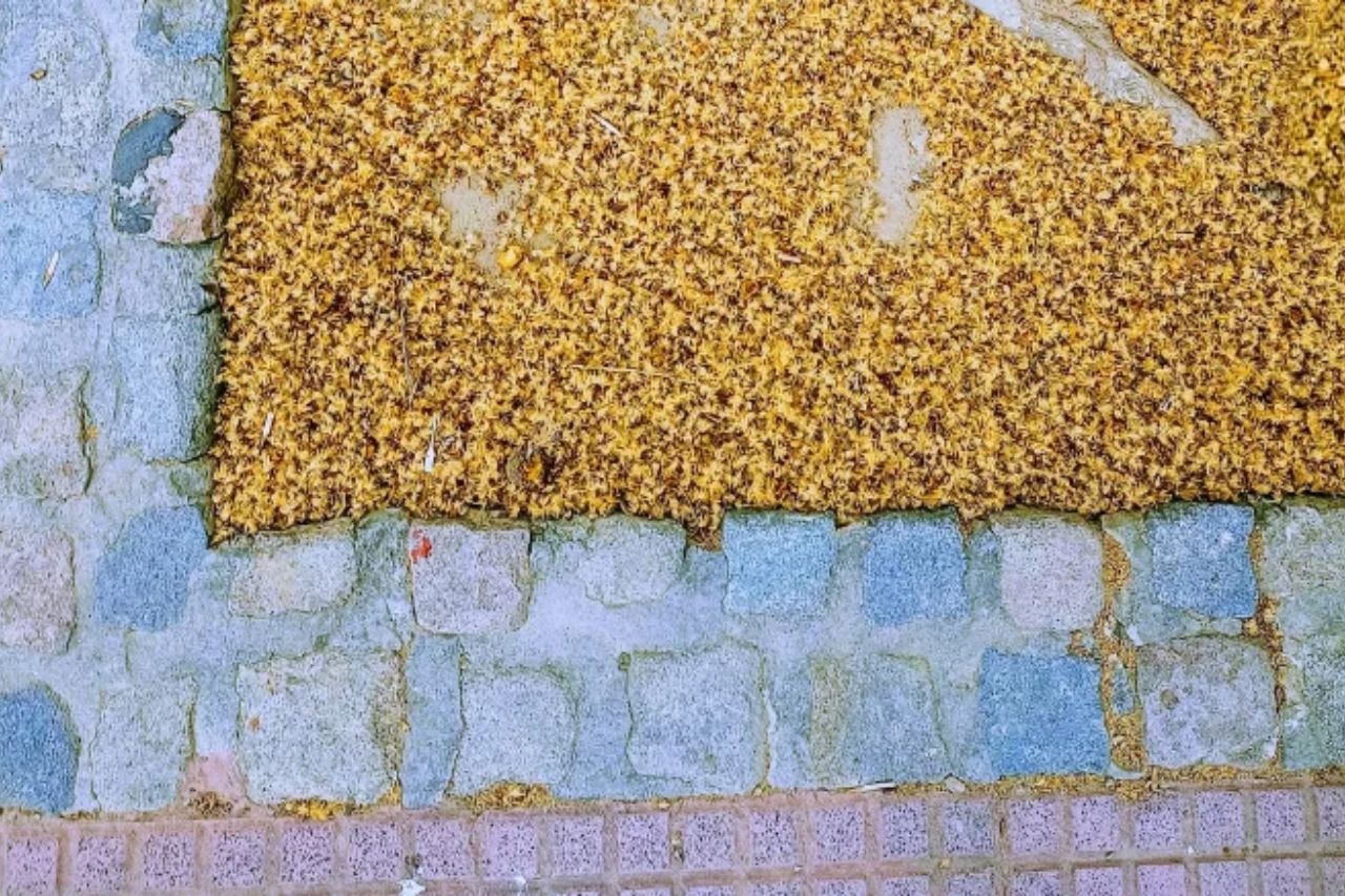
Allergy season is a part of porteño life Between September and October, the tens of thousands of plane trees growing all over the city spread their pollen into the air. The yellow, thin powder causes irritation and redness in the eyes, as well as other allergic disorders.
The most common symptoms are rhinitis and rhinoconjunctivitis, including repeated sneezing, nasal congestion, watery eyes, and eye redness. In more severe cases, the inflammation can spread to the bronchi, causing persistent coughing, wheezing, and bronchospasm.
The high concentration of these trees across the city, plus weather conditions that favor pollen dispersal, have made the plane tree a major driver of the city’s allergy season in the beginning of spring.
As the Netflix billboard once again joked on September 23, two days after the beginning of spring: “Plane trees allergies. Season one thousand. Now available.“
In popular culture, there is someone to blame for Buenos Aires’ now typical allergy season: former president Domingo Faustino Sarmiento, whose 19th-century promotion of European immigration included the — now infamous — massive planting of thousands of Platanus x acerifolia in public spaces.
Today, the plane tree is the second most common species lining the streets and avenues of Buenos Aires.
The trees do have their advantages. They grow fast, have a tolerance for pollution and temperature changes, require little watering, and provide shade for a good portion of the year — hence, their proliferation on city streets and avenues.
A recent survey by the Buenos Aires City revealed that one in six trees in the city are the kind that haunt allergic people in the spring.
A map to avoid danger With reforestation of tens of thousands of trees not being a realistic possibility, porteños cope with plane trees in whatever form they can, from over-the-counter antihistamine medication to the old-fashioned medical mask.
Now, researcher Luciana Staiano, a professor at the University of Buenos Aires’ School of Agriculture (FAUBA), added a new one: an “Allergy GPS”.
“I get around the city a lot by bike. Every spring, my eyes fill with plane-tree fluff. I tried wearing glasses and motorcycle goggles. They worked until one particularly windy day, when a lot of fluff got into my throat. I almost choked and nearly crashed,” Staiano told Sobre la Tierra, FAUBA’s Scientific and Technological Outreach area.
Her solution? Science.
Staiano designed an interactive map on Google Maps that shows the concentration of plane trees on every street of Buenos Aires, based on data from the city’s public trees census carried out between 2017 and 2018.
“This information is available for anyone to use. It shows the location of each tree, along with its species and other characteristics such as height and diameter. I processed the data using geographic information systems and free software, then cross-referenced it with the layout of streets and avenues to create a lightweight, easy-to-use map,” she said.
The map is easy to read: city blocks are grouped by the number of plane trees they contain. The lowest-density category includes blocks with up to three trees, the next covers those with four to six, and the highest-density category flags blocks with seven or more.
“The highest figure is in La Paternal, where plane trees account for nearly 34% of the neighborhood’s street grid. It is followed by Villa Luro, Parque Chas, and Villa del Parque, all of which exceed 30%. If you walk through these neighborhoods, roughly one in every three blocks has plane trees,” she said.
The map can serve different purposes, depending on the time of year and weather conditions.
“Now you can plan your ride and avoid the blocks that have plane trees in the spring — or choose them in the summer.”